
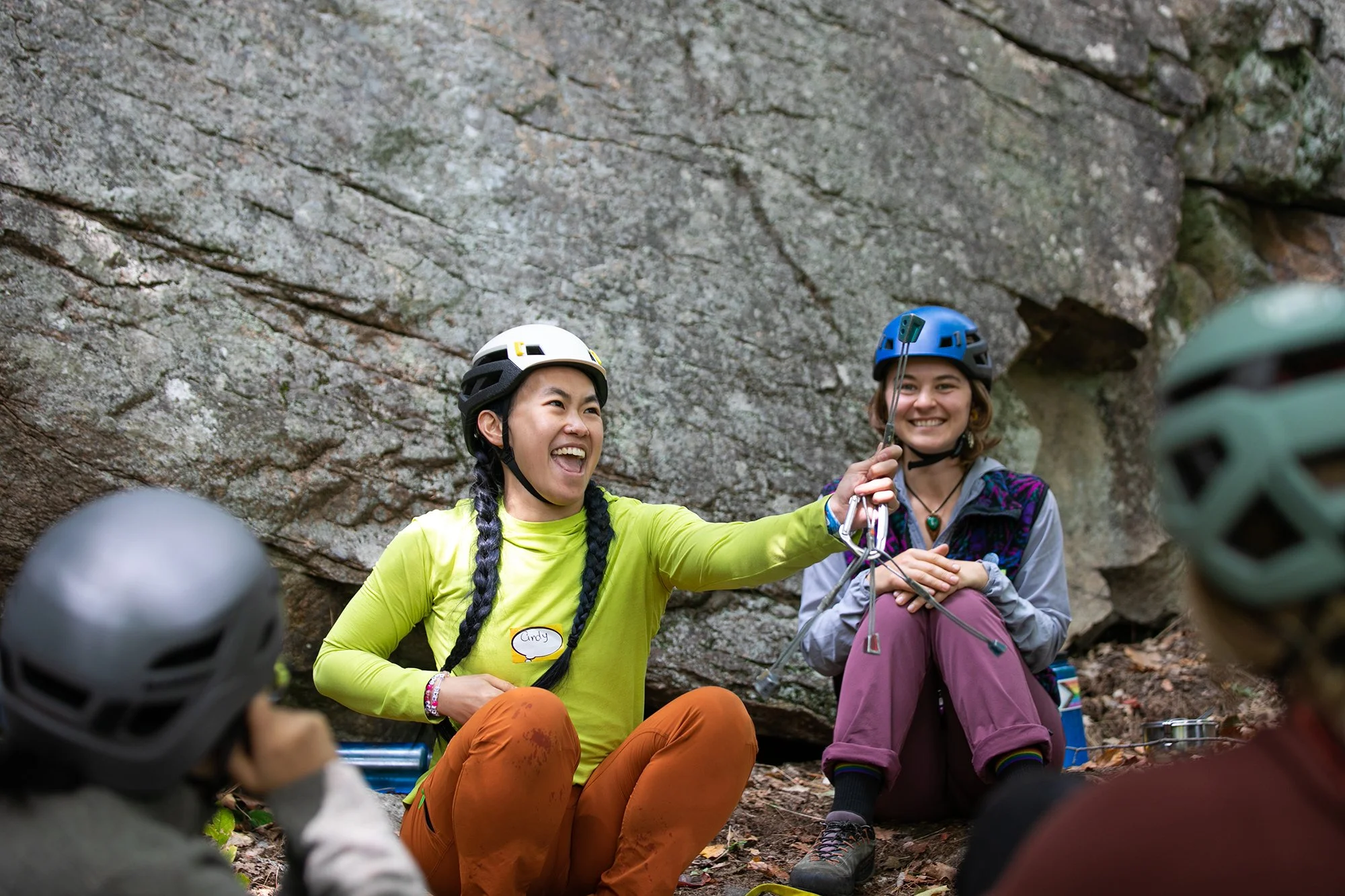
CLINICS + Meetups
Flash Foxy Trad Fest • MAMMOTH LAKES • Sept 12-14, 2025
presented by Patagonia with support from Mammoth Lakes Tourism
Schedule is always subject to change. All programs run rain-or-shine. No refunds.

Clinics
-
All clinics are 6 hrs and have a maximum of 12 participants. We will only be offering 3 clinics per day this year.
Clinics are reserved for registered festival participants. Clinic registration link will be sent via Eventbrite on August 15th.
-
There is a $95 per day registration fee for clinics.
Registration link will be sent directly to all festival participants via Eventbrite.
Clinic registration opens August 15!
-
All location listings are tentative and subject to change day-of. If you have an accessibility concern related to venue locations please email events@flashfoxy.com after registering for your clinic and we will work with you to see if the clinic can be held at a venue that meets your accessibility needs. If we are unable to accommodate your needs we will gladly refund the clinic registration fee.
-
Climbing gear is provided for all clinics. There will be climbing harness, shoe and helmet demos available. If you have any gear that you would like to ask questions about/practice with at your clinic, feel free to bring it!
All Clinics will be run in partnership with FIFTH Class Climbing School & Guide Service.
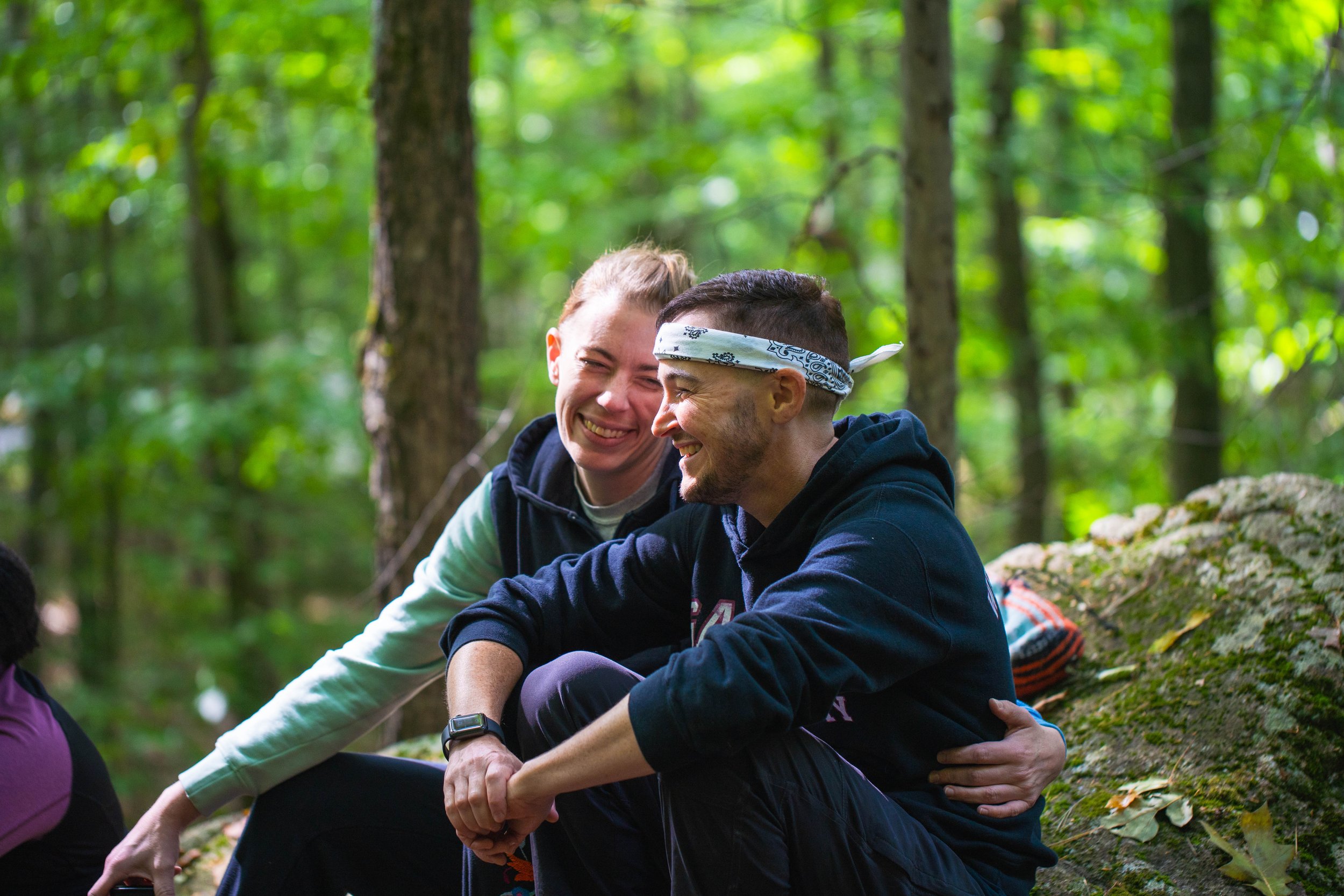
Meetups
-
Meetups are free and are INCLUDED with your festival pass, just show up! Some will be climbing, some will be other activities for climbers!
These Meetups are open only to registered festival participants. Please note schedule is always subject to change.
-
Meetups will take place on Friday after Climber Coffee, Saturday after the group photo, and Sunday after the Stewardship Project!
-
Meetups are not guided or instructional in nature. They are opportunities for participants to meet each other and find new friends to climb with. Meetup leaders will be familiar with local climbing. We encourage all participants and meetup leaders to make informed risk decisions and have conversations about risk and experience with all new climbing partners. Remember, climbing is inherently dangerous and you are responsible for your own safety.
Get involved!


Climbing Areas
The Eastside offers plentiful options for trad climbing, sport climbing, and bouldering year-round! Here are a few crag ideas to get you started - all located within a 1-hour drive from our festival venue. Remember, all climbers are responsible for managing their own risk. Trail conditions may vary and Flash Foxy cannot guarantee accessibility of any climbing areas. Please read all parking and land use regulations carefully. Participants are responsible for paying day use fees and obtaining any necessary climbing permits.
-
Google Maps: Lake George Parking *16-minute drive from our festival venue!
The Lake George Recreation Area trailhead gives access to some of the best climbing in the Lakes Basin. Dike Wall and Horseshoe Piles have a great collection of single pitch sport climbs in the 5.8-5.12 range while Crystal Crag has climbs ranging from short sport routes to multi-pitch alpine excursions. In addition there are a number of newer sport areas that will keep you busy for some time.
Distance + Directions: From the town of Mammoth Lakes head south west along Lake Mary Road. As the road winds up into the lakes basin look for a left turn at Pokonobe Marina. Follow this left turn through a campground and over a bridge. After crossing the bridge take a right and continue to the trailhead parking.
Approach + Trail Surface: mild-moderate uphill on packed dirt/sand/gravel mix
-
Google Maps: Horseshoe Lake Parking *20-minute drive from our festival venue!
This quiet alpine lake setting above the town of Mammoth features sport and trad climbing at 10,300 feet in elevation. Plenty of climbs from 5.8 - 5.12, with top access anchors. This point is visible from many places around Mammoth.
Distance + Directions: 25 minute drive from the Mammoth Lakes Welcome Center. Take highway 203 towards Lake Mary. Follow the road (past the Lake Mary turnoff) to a large parking area at the end near Horseshoe Lake.
Approach + Trail Surface: ~40-60 minutes of hiking. Terrain can be steep and technical over talus, boulders, and packed dirt/sand/gravel mix.
-
Google Maps: Rock Creek *25-minute drive from our festival venue!
Rock Creek features sport climbing, trad climbing, and bouldering on incredible Sierra granite at around 7,500 feet in elevation.
Distance + Directions: 20 minute drive from the Mammoth Lakes Welcome Center. Take the 395 South from Mammoth Lakes to Tom’s Place. Take this road south into the canyon and the formations will appear on the west side of the canyon.
Approach + Trail Surface: moderate-steep uphill 0.2-1.5 miles on trails and talus.Trails between climbing areas are on mixed terrain including talus, boulders, packed sand and soft sand.
-
Google Maps: Tioga Road Parking *35-minute drive from our festival venue!
This area is situated at the northern end of the Sierra Eastside, and is unique in its nature given that it has some of the most easily accessible sport, trad, bouldering, and ice climbing on cliffs that are more often than not empty. Perhaps climbers are too eager to get to the better known climbs in Tuolumne Meadows, but make no mistake the climbing to be found west from Lee Vining along the Tioga Pass is worth a visit or two.
Distance + Directions: From the US 395 take the CA120 west toward Tioga Pass and Yosemite National Park to reach all the climbing. All the areas are located in a 10 mille stretch West of the 395/120 junction.
Approach + Trail Surface: moderate-steep talus downhill to crag. Some areas require a rappel to approach.
-
Google Maps: Pine Creek Canyon *45-minute drive from our festival venue!
Pine Creek lies in a stunningly scenic granite canyon nestled between Mount Tom & the Wheeler Crest. This once backwater area has now grown into a truly world class destination. Pine Creek now features over 630 routes including long multi-pitch affairs, plentiful traditional climbs, and one of the largest collections of sport climbs in the state!
Distance + Directions: Take Hwy. 395 North from Bishop to Pine Creek Road. Turn left onto Pine Creek Road. Continue through the town of Rovana and several switchbacks until you see Sheelite Canyon (the obvious deep canyon) on your right. Just across from the Campground, take a dirt road and park in one of two parking areas. Walk up the road and into the canyon.
Approach + Trail Surface: Approaches vary in length. Roadside climbing is available. Trails include narrow, sandy approaches, talus fields, and creek crossings.
-
Google Maps: Sherwin Plateau*35-minute drive from our festival venue!
Sherwin Plateau offers a selection of isolated bouldering venues overlooking the gorge. You’ll find pocketed volcanic tuff on good quality rock reminiscent of the Happy Boulders at about 7,000 feet in elevation.
Distance + Directions: 25 minute drive from the Mammoth Lakes Welcome Center. Take the 395 South from Mammoth Lakes to Tom’s Place. Turn left onto Owens Gorge road and continue for 1.5 miles and take a right at the three-way fork. Keep left on the next two forks until merging with Forest RD 4S116. Continue for a mile and park.
Approach + Trail Surface: Approaches vary, but everything is close. Expect mixed terrain including talus, boulders, packed sand and soft sand.
-
Google Maps: Casa Diablo Mountain *45-minutes from our festival venue!
Casa Diablo Mountain offers sport climbing and bouldering on quartz monzonite granite with views of the White Mountains, Glass Mountains, and Sierra Nevada Mountains at 7,400 feet. This area features many moderate rock climbs ranging from 5.6-5.12. Half of the climbs are north facing, while the other half are south facing, which makes for a great choice on both warmer and cooler days.
Distance + Directions: 45 minute drive from the Mammoth Lakes Welcome Center. Take the 395 south for 5.5 miles before making a left on Benton Crossing road. Drive 18 miles and turn right on a dirt road (3S02). Keep left at the first T (still 3S02) and stay right at the second T (still 3S02), for a total of 5.4 miles. Turn left between two trees on Forest Road 04S132C. Continue on a washboard road, make a left onto 04S132F and park in a small rounded parking area. A few climbs are visible from the parking zone.
Approach + Trail Surface: short approach! A few minutes of hiking over boulders, and packed dirt/sand/gravel mix.
-
Google Maps: Yosemite National Park *1-hour drive from our festival venue!
Tuolumne Meadows is the high country climbing area of Yosemite National Park. The region is highlighted by many beautiful granite domes which offer the ultimate in knob and slab climbing. There are also classic non-dome formations like Cathedral Peak (first ascent by John Muir in the 1800's) and the Matthes Crest which are very popular with climbers. Tuolumne Meadows is a beautiful, serene place without many of the tourist popularity issues plaguing Yosemite Valley these days.
Distance + Directions: Tuolumne Meadows is accessed via highway 120 via Tioga Pass from the east.
Approach + Trail Surface: Approaches vary in length. Roadside climbing is available. Trails include steep dirt trails, scrambling, creek crossings, and talus fields.
-
![]()
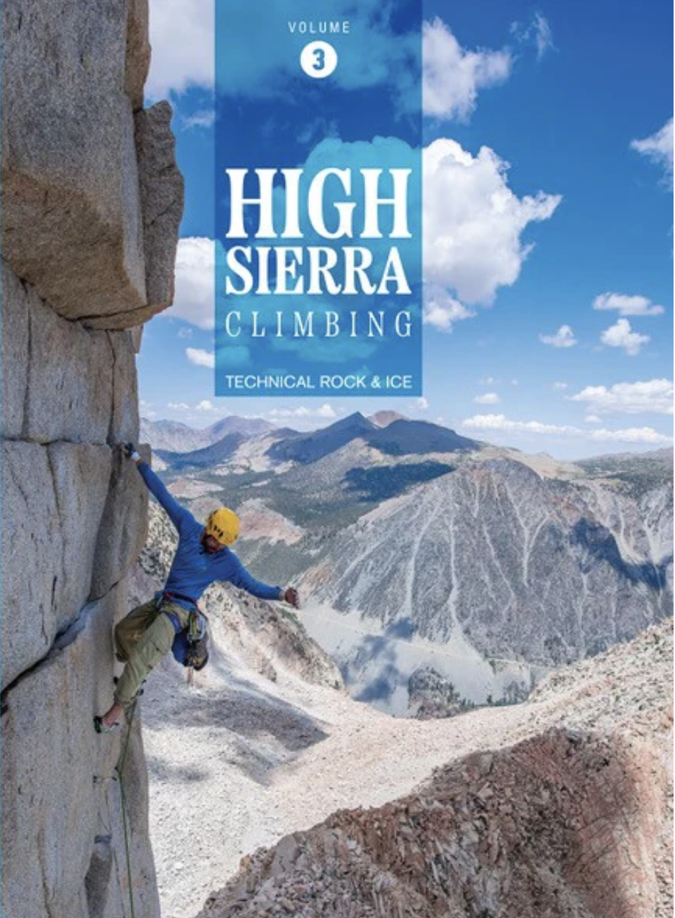
High Sierra Climbing Vol. 2
This book, Volume 2 of a three-volume series, covers peaks on the northern part of the Kern-Kaweah Divide, the Great Western Divide, and on and west of the crest between Shepherd Pass and Bishop Pass. Roger Putnam and Vitaliy Musiyenko 2023
-
![]()
High Sierra Climbing Vol. 3
This book, Volume 3 of a three-volume series, covers peaks between Bishop Pass and Sonora Pass. Roger Putnam and Vitaliy Musiyenko 2024
-
![]()
Mammoth Area Rock Climbs
The Climbing Guide to the Eastern Sierra—North Marty Lewis October 2014
-
![]()
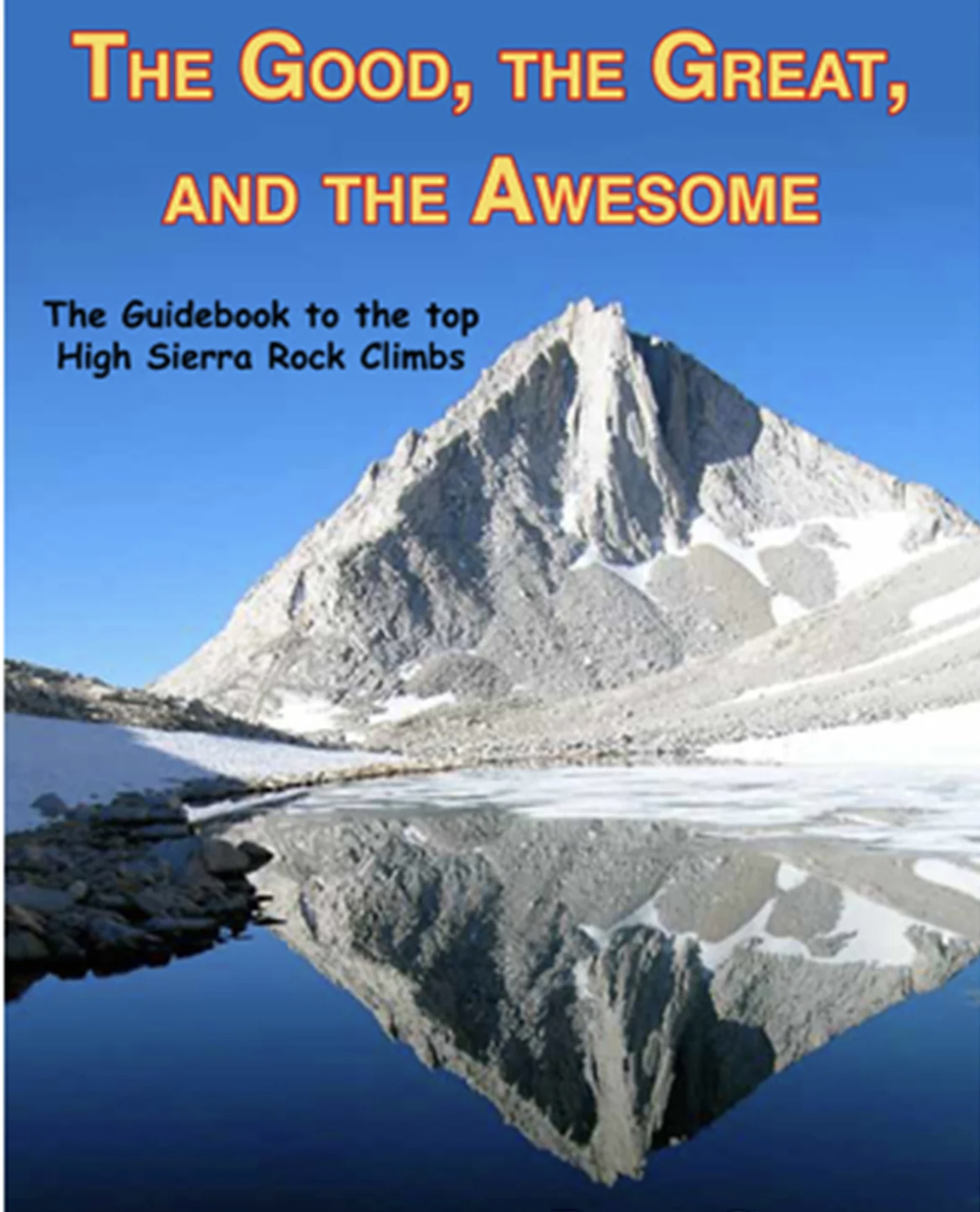
The Good, the Great, and the Awesome
The Guidebook to the top High Sierra Rock Climbs. Peter Croft December 2016
-
![]()
Tuolumne Meadows Climbing
Over a decade in the making, this is the first new rock climbing guidebook in 15 years to this magnificent alpine region of Yosemite National Park. Robin Hirsch and Thomas Bukowski 2024


Venues
+ Accessibility
-
Primary festival events (opening party, open air market, film screenings, panels) will be held at wheelchair accessible venues and will have accessible bathrooms. Accessibility of crags (climbing clinics) and satellite events may vary.
Primary festival programming is scheduled to take place outdoors at Mammoth Creek Park. The Opening Party, Programs, and Presentations will take place under the Pavilion at Mammoth Creek Park. The Foxy Fair will take place in a grassy field. Bathrooms will be available inside the Community Center. Seating will be available. Weather in Mammoth Lakes is variable, please check the forecast and dress appropriately.
The Sunday Community Slideshow will take place upstairs at Mammoth Brewing Company. This is an indoor venue. Face masks will be available. Seating will be available.
ASL Interpretation will be provided at all primary festival programming. Please email events@flashfoxy.com if you will be needing ASL Interpreters. ASL Interpreters are supported by Arc’teryx and by our STICKER SALE FUNDRAISER.
Face masks will be optional for all indoor events. Face masks will be available on-site.
All films will have captions in English.
Approaches differ by climbing area. Details about approaches can be found below, or can be found on Mountain Project.
Have an accessibility concern? Reach out to events@flashfoxy.comand we’ll see how we can help!
We are always working to make the Flash Foxy Climbing Festival a more inclusive and welcoming space, please let us know what we can do to make our event more accessible for you. Unfortunately, we are not always able to arrange accommodations, but we will do our best and will provide honest answers about the our event spaces, staff capabilities and the activities that take place at our festivals. Thank you for learning and growing with us!
-
Google Maps: Mammoth Creek Park
About the venue: Primary festival programming is scheduled to take place outdoors at Mammoth Creek Park. The Opening Party, Programs, and Presentations will take place under the Pavilion at Mammoth Creek Park. The Foxy Fair will take place in a grassy field. Bathrooms will be available inside the Community Center. Seating will be available. Weather in Mammoth Lakes is variable, please check the forecast and dress appropriately.
Directions: Located on the corner of Old Mammoth Road and Mammoth Creek Road in Downtown Mammoth. FREE public transportation is available! Mammoth Creek Park is conviniently located at stop 6 or 7 on the Town Trolley or Teal Line.
-
Google Maps: Mammoth Brewing Company
About the Venue: The Sunday Community Slideshow will take place upstairs at Mammoth Brewing Company. Seating will be available. This is an indoor venue. Face masks will be available.
Directions: Located on the corner of Lake Mary Road and Minaret Road near the Village. FREE public transportation is available! Mammoth Brewing Company is conveniently located at stop 17 on the Town Trolley, Teal Line, or Purple Line, or at stop 90 on the Mammoth Lakes Basin Trolley.