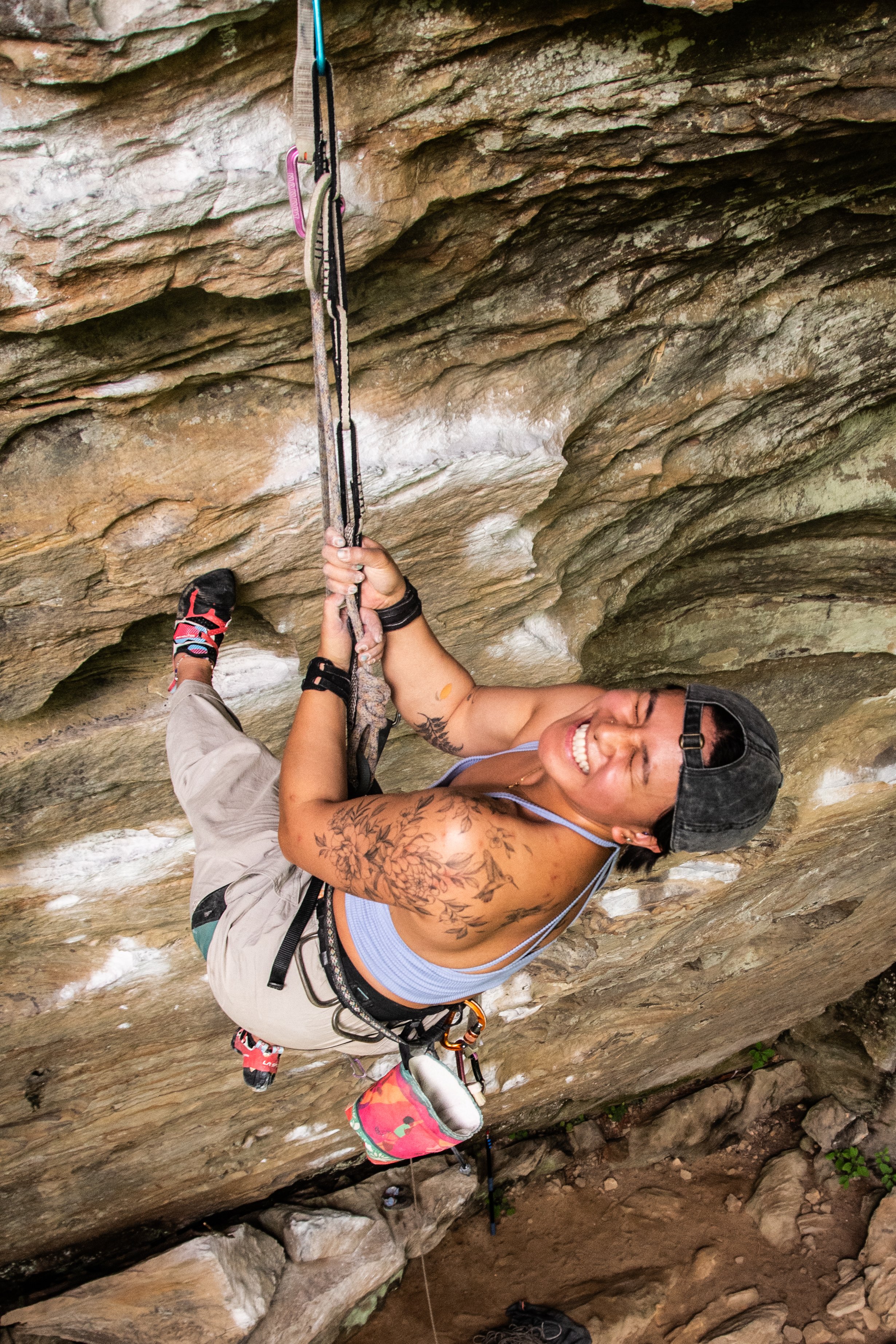
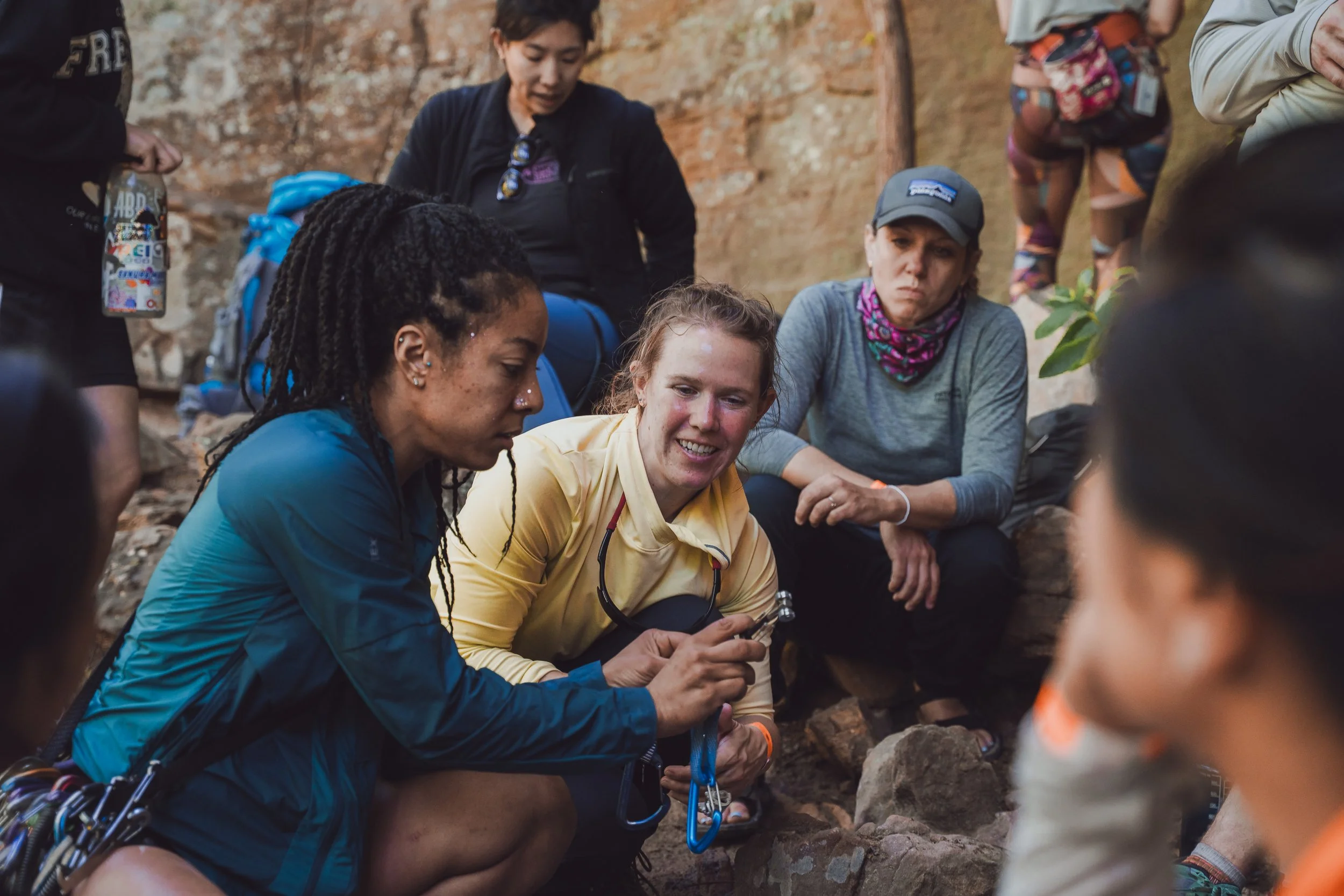
CLINICS
Flash Foxy MINI FEST • presented by arc’teryx
Red River Gorge, ky • May 15-17, 2026
Schedule is always subject to change. All programs run rain-or-shine. No refunds.
-
All clinics are 6 hrs and have a maximum of 12 participants.
Clinics are reserved for registered festival participants. Clinic registration link will be sent via Eventbrite. Clinic Registration link (and waitlist link) can also be found in the festival linktree.
-
There is a $125 per day registration fee for all clinics.
Registration link will be sent directly to all festival participants via Eventbrite. Clinic registration link (and waitlist link) can also be found in the festival linktree.
Clinic registration opens April 17th!
-
All location listings are tentative and subject to change day-of. If you have an accessibility concern related to venue locations please email events@flashfoxy.com after registering for your clinic and we will work with you to see if the clinic can be held at a venue that meets your accessibility needs. If we are unable to accommodate your needs we will gladly refund the clinic registration fee.
-
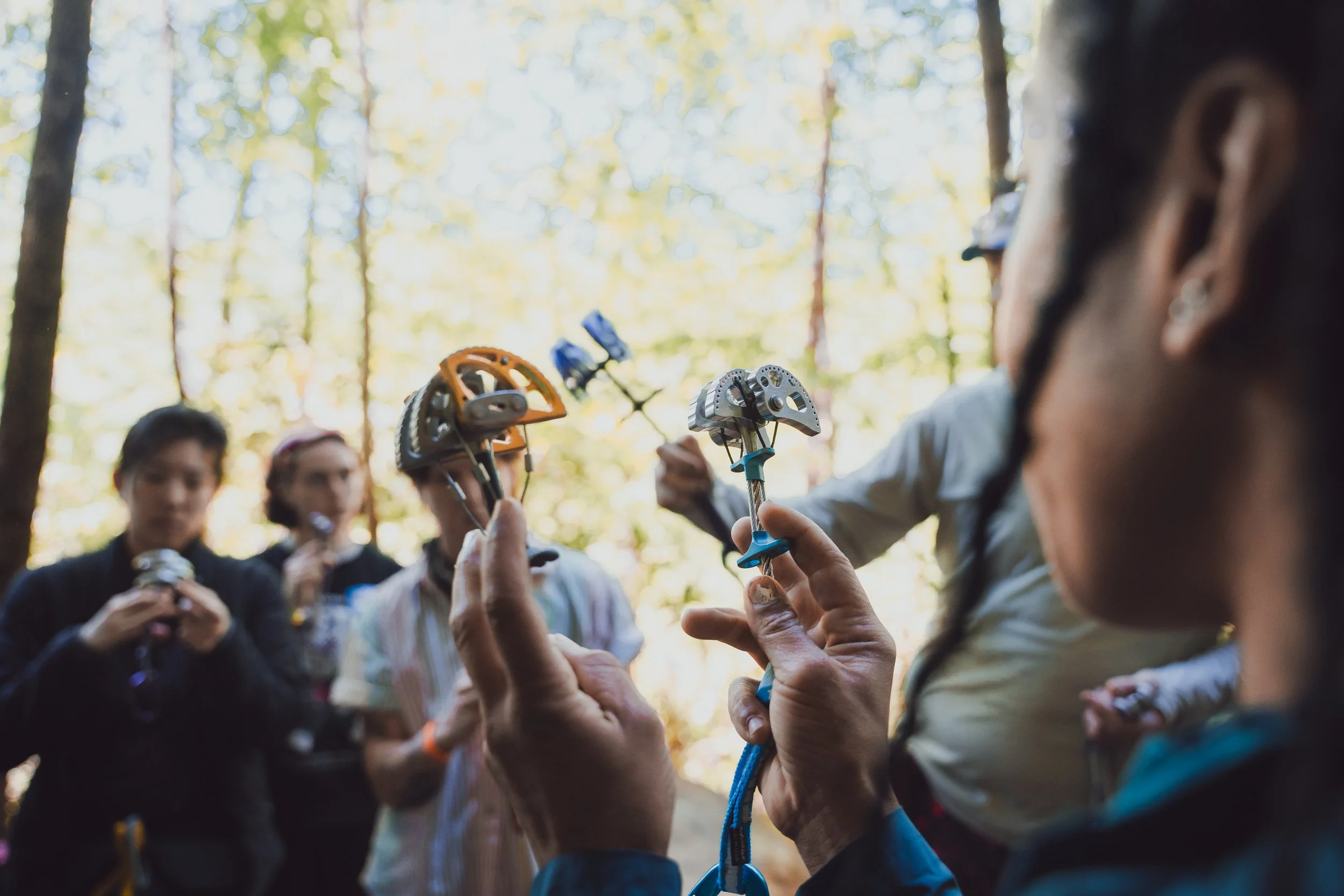
Climbing helmets are required for all clinics. We request that participants provide their own helmets whenever possible. Helmet rentals can be coordinated upon request.
Climbing harness demos will be available from Arc’teryx. Climbing shoe demos will be available from SCARPA.
Climbing ropes, anchors, belay devices, and other gear is provided during clinics. If you have any gear that you would like to ask questions about/practice with at your clinic, feel free to bring it!
Email events@flashfoxy.com with any questions or concerns!
All clinics will be run in partnership with Rise Outside.
Registration opens April 17th!
SATURDAY
Saturday Clinic
The Tortoise and The Hare: Endurance and Efficiency
with Karly Rager (she/her) presented by Rab
NEW Climber Requirements: Must be able to comfortably top rope 5.9 outdoors (5.10 indoors). Must know how to lead belay. Some experience leading sport or trad is helpful but not required.
Does it feel like endurance is always your limiting factor? Then this clinic is for you. Karly Rager brings over half a decade of professional climbing coaching, many 5.13+ redpoints, and deep enthusiasm for the art of the redpoint to this clinic: The Tortoise and the Hare. Designed to help climbers get the most out of the fitness they already have, this session focuses on pacing, resting, and decision-making to keep it together on long and pumpy routes.
Using the steep terrain of the Red as our training ground, we’ll cover: How to pace yourself for efficient redpoint attempts; Resting strategies: how long to rest, how to breathe, how to position your body; Spotting and using "unobvious" rest stances; Understanding the science behind recovery and pump; Mental and physical tactics to manage endurance on big efforts.

Saturday Clinic
Self-Rescue
with Marian May Perez (they/them) presented by Arc’teryx
Climber Requirements: Must know how to belay on top rope. Some experience top-roping indoors or outdoors is required.
This clinic helps you prepare for those inevitable mishaps at the crag, and how to extricate you and your climbing partners from them so you don’t have to call for a rescue. We’ll cover basic methods of ascending a rope to help a climber, assisting a climber through a crux from both above or below, taking over a belay from someone else, and simple rappel techniques. We'll use scenarios to explore improvised solutions and best practices, instead of just teaching a few cookie-cutter drills that might not apply in the real world, and you’ll leave with a solid set of tools to handle most situations that could happen at a crag.
SUNDAY
Sunday Clinic
Secrets of the Steep
with Genevive Walker (she/her) presented by Flash Foxy Education
Climber Requirements: Must be able to comfortably top rope 5.9 outdoors (5.10 indoors). Must know how to top rope belay. Some experience leading sport or trad is helpful but not required.
Have you ever seen those people nearly horizontal and somehow still on the wall? In this clinic you’ll learn the secrets to staying on the wall when everything is trying to kick you off, in no better place than the land of the steep itself. We’ll dive into steep climbing techniques, from how to take weight off your arms to dialing in your body positioning for the best tension.
Sunday Clinic
Trad for sport climbers
with Marian May Perez (they/them) presented by Arc’teryx
Climber Requirements: Must know how to belay someone lead climbing. Some experience leading sport climbs, indoors or outdoors, is required.
This clinic is for sport climbers who are ready to venture away from bolted cliffs, whether ready to lead or just stoked to follow, and learn the technical skills and components for traditional climbing! We’ll cover the essentials like learning how to place stoppers and cams, and we’ll also have candid conversations about risk and how to manage it when the variables start to add up. Our instructors will provide low-risk environments for practice and review the skills you need to continue your practice after the course. Maybe we’ll even convince you that trad can be less scary than sport climbing!
Climbing Areas
-
Google Maps: Ash Branch Climbing
Ash Branch is a privately-owned crag near Muir Valley. This area gets morning sun to full shade. Some of these routes are still cleaning up, so expect some choss. Helmets are recommended.
Approach + Trail Surface: From the parking area, find the green rules sign and hike downhill on the wide gravel path. Cross the creek and head uphill, turning left at the arrow. Trail reaches the cliff to the right of Humanoid. Go left for Humanoid- routes are still listed left to right.
Directions: From Lago Linda, get onto KY-11 and drive toward Mountain Parkway for 5.8mi. Take a slight right onto KY-715. Continue for 2.6mi then take a right onto Big Andy Ridge Rd (JCT 2016). After .8mi take a left onto Fincastle Rd. Look for a gravel drive on the right with a wooden sign that says ‘Ash Branch Climbing’ approx .2mi after turning onto Fincastle Rd. Descend the steep hill from there, taking a hard left at the bottom to find parking.
Do not climb tagged routes. These routes are undergoing cleaning, not complete, or not open to the public. -
Google Maps: Motherlode Parking Lot
Bald Rock Recreational Preserve (BRRP) is owned by the Red River Gorge Climbers’ Coalition and home to the Red’s iconic Motherlode. This area also hosts other popular areas like the Chocolate Factory and Hazel Hollow. You’ll find a host of climbs ranging from 5.6 to 5.14d here.
Approach + Trail Surface: Trails vary based on destination, ranging from short and flat to uneven. Trails between climbing areas are mixed terrain including exposed rocks, loose sand/dirt, and mud. Please use Mountain Project or a guidebook to gauge the trail to your specific destination.
Directions: From Lago Linda, turn right onto KY-52 E. Continue for 2.4mi and turn left onto HWY 498. After 1 mile turn left onto Bald Rock Fork Rd, which will be a gravel road on your left. From KY-11, turn right onto Hwy 498. After 1mi, you can take a slight right toward Hopewell Church or continue on Hwy 498, round a corner, and turn right onto Bald Rock Fork Rd (gravel road).
All cars will enter the area via a steep hill. There are three parking lots at the base of the Motherlode hill. There is a top lot on the left side before you enter the steep hill, recommended for 2WD cars. -
Google Maps: CFRP Main Parking Lot
Cave Fork Recreational Preserve is part of the Red River Gorge Climbers’ Coalition’s most recent land acquisition - the largest land purchase in climbing history - and home to popular crags: Hatchett Wall, Zun’s Wall, and The Venue. Helmets are highly recommended when climbing here as routes are still cleaning up as public traffic increases.
Approach + Trail Surface: Trails vary based on destination, ranging from short and flat to uneven. Trails between climbing areas are mixed terrain including exposed rocks, loose sand/dirt, and mud. Please use Mountain Project or a guidebook to gauge the trail to your specific destination.
Directions: From Lago Linda, get onto KY-11 and head North toward Mountain Parkway. Continue for 5.4mi. Turn off highway 11 onto Ashland Camp Loop and then onto the dirt/gravel Cave Fork Road. Wind down a hill for about a half mile crossing a small stream at the bottom of the hill. Turn left on the dirt road and continue for another half mile crossing a second, more technical stream (depending on recent wetness) before reaching the large gravel lot on your left. 4WD is helpful but not required.
Do not block oil machinery.
-
Google Maps: Cliffview Recreational Preserve
Cliffview Recreational Preserve is owned by Cliffview Resort and Lodge and managed by the Red River Gorge Climbers’ Coalition. This newly developed area hosts climbs ranging from 5.6 to 5.13-.
Crags in this area are still being developed so please respect red tags and stay on trails. Helmets are highly recommended when climbing here as routes are still cleaning up as public traffic increases.
Approach + Trail Surface: Trails vary based on destination. Trails between climbing areas are mixed terrain including exposed rocks, loose sand/dirt, and mud. The North trail includes a significantly steep wood staircase. Please use Mountain Project or a guidebook to gauge the trail to your specific destination.
Directions: From Lago Linda, get onto KY-11 and drive toward Mountain Parkway for 5.8mi. Take a slight right onto KY-715. Cable Ridge Road is located along KY 715 about 0.5 miles NE of the intersection with KY 11. From Cable Ridge Rd it is 0.5 miles to the gate. Go 200 yards (1/8 mile) past the gate to the 2nd road on the left. Turn left here and continue 0.4 miles to the 3 way fork where you'll see signage for the climbing access. Take the middle fork and follow the signs to the parking lots.
-
Google Maps: Graining Fork Nature Preserve
Graining Fork Nature Preserve (Roadside) is a privately owned and operated crag. Permits are required for access and must be requested in advance. Popular routes include Roadside Attraction, Return of Chris Snyder, and Ro Shampo.
Approach + Trail Surface: Park in the gravel lot shared with Hop’s Fork Restaurant and cross the road. Follow the trail to the cliffline.
Directions: From Lago Linda, get onto KY-11N and drive toward Mountain Parkway. Park in the lot shared with Hop’s Fork.
This climbing area is access-friendly to 2WD vehicles.
Permits: Permit requests are reviewed and issued every week on Monday. Instructions for requesting permits are on the GFNP website.
-
Google Maps: Miller Fork Recreational Preserve
Miller Fork Recreational Preserve (MFRP) is owned by the Red River Gorge Climbers’ Coalition and home to popular areas like the Infirmary, Fruit Wall, and Camelot.
Approach + Trail Surface: Trails vary based on destination. Trails between climbing areas are mixed terrain including exposed rocks, loose sand/dirt, and mud. Please use Mountain Project or a guidebook to gauge the trail to your specific destination.
Directions: 4WD/AWD highly recommended for access. River crossing required if approaching from Beattyville and navigated via Holly Rd.
From Lago Linda, get onto KY-11 N towards Mountain Parkway. Continue for approx 5mi and turn right onto Shoemaker Rd. Continue on Shoemaker Rd for 3.5mi. You’ll pass a house with a lot of equipment in the yard, a 35mph speed limit sign, and possibly pigs (beware, they’re free roaming). Be prepared to take the middle driveway once you round the corner; the descent is steep at first.Do not block oil machinery. Please do not park on Shoemaker Rd.
-
Google Maps: Muir Valley Nature Preserve
Muir Valley Nature Preserve is operated by the Friends of Muir Valley and hosts the highest concentration of climbs in the 5.2-5.10a range. Climbing access to this area costs $15 per car.
Approach + Trail Surface: Trails vary based on destination. Trails between climbing areas are mixed terrain including exposed rocks, loose sand/dirt, and mud. The North trail includes a significantly steep wood staircase. Please use Mountain Project or a guidebook to gauge the trail to your specific destination.
Directions: From Lago Linda, get onto KY-11 and drive toward Mountain Parkway for 5.8mi. Take a slight right onto KY-715. Continue for 2.6mi then take a right onto Big Andy Ridge Rd (JCT 2016). After .8mi take a left onto Fincastle Rd.
This climbing area is access-friendly to 2WD vehicles.
-
Google Maps: Motherlode Parking Lot
Pendergrass-Murray Recreational Preserve (Motherlode entrance) is owned by the Red River Gorge Climbers’ Coalition and home to some of the Red’s most popular areas like Drive-By, The Gallery, and Purgatory. You’ll find a host of climbs ranging from 5.6 to 5.14d here.
Approach + Trail Surface: Trails vary based on destination, ranging from short and flat to uneven. Trails between climbing areas are mixed terrain including exposed rocks, loose sand/dirt, and mud. Please use Mountain Project or a guidebook to gauge the trail to your specific destination.
Directions: From Lago Linda, turn right onto KY-52 E. Continue for 2.4mi and turn left onto HWY 498. After 1 mile turn left onto Bald Rock Fork Rd, which will be a gravel road on your left. From KY-11, turn right onto Hwy 498. After 1mi, you can take a slight right toward Hopewell Church or continue on Hwy 498, round a corner, and turn right onto Bald Rock Fork Rd (gravel road).
There are multiple parking areas depending on which crag you are going to. All cars will enter the area via a steep hill. Once at the base of hill, continue down the road to the parking lot for your crag. There is a top lot on the left side before you enter the steep hill, recommended for 2WD cars.Do not block oil machinery.
Parking lots:
Flat Holler Parking Lot Crags: Velo, Throwback, The Lumber Yard, The Getaway, The Shipyard
Sore Heel Hollow Parking Lot Crags: Curbside, The Gallery, Left Field, Volunteer Wall, The Playground, Bronaugh, The Mega Cave, North 40, Purgatory, Courtesy, Rival, Shady Grove, The Shire, What About Bob
Drive-By Parking Lot Crags: Drive-By, Chica Bonita, Bob Marley
Note: Sore Heel Parking Lot is only recommended for 4WD/AWD cars with substantial clearance. There is an access trail off of the main road to hike back to these crags. -
Google Maps: Far Side Parking Lot
Pendergrass-Murray Recreational Preserve (Coal Bank entrance) is owned by the Red River Gorge Climbers’ Coalition and home to some of the Red’s most popular areas like Darkside, Solar Collector, and Gold Coast. You’ll find a host of climbs ranging from 5.6 to 5.14d here. Gold Coast also has some great entry-level trad for you crack climbers.
Approach + Trail Surface: Trails vary based on destination, ranging from short and flat to uneven. Trails between climbing areas are mixed terrain including exposed rocks, loose sand/dirt, and mud. Please use Mountain Project or a guidebook to gauge the trail to your specific destination.
Directions: From Lago Linda, get onto KY-11 and head North toward Mountain Parkway. Continue for 5.4mi. Once you pass the Marathon gas station, prepare to turn left in about a mile onto Hwy 1036 toward Peaceful Valley Resort. This road will change from pavement to gravel. Continue on this road for approx 5mi. When you see a black tank on the left side of the road, turn right onto the next gravel road.
It is recommended to approach via Fixer Rd, not Cave Fork via Ashland Camp Rd. There is a central parking area for all crags. 4WD/AWD highly recommended for access.Do not block oil machinery.
-
Google Maps:
Beer Trailer Parking
Emerald City and Global Village ParkingThroughout the Southern Gorge there are pull-offs along KY-11 for popular climbing areas such as Beer Trailer, Global Village, and Emerald City.
Approach + Trail Surface: Trails vary based on destination, ranging from short and flat to uneven. Trails between climbing areas are mixed terrain including exposed rocks, loose sand/dirt, and mud. Please use Mountain Project or a guidebook to gauge the trail to your specific destination.
Directions: From Lago Linda, get onto KY-11 and drive toward Mountain Parkway.
-
Google Maps:
Nada Tunnel Access
Sky Bridge Rd AccessThe Northern RRG hosts the majority of the Red’s trad climbing, but also some classic sport. This is where you’ll also find the Red’s first classified rock climb, Caver’s Route, and the uber classic Bedtime for Bonzo 2-pitch romp. Climbing is within the Daniel Boone National Forest and managed by the US Forest Service.
Approach + Trail Surface: Trails vary based on destination. Trails between climbing areas are mixed terrain including exposed rocks, loose sand/dirt, and mud. Please use Mountain Project or a guidebook to gauge the trail to your specific destination.
Directions: There are two ways to enter the DBNF Scenic Loop which is the main access road for the majority of crags in the North. From Lago Linda, get onto KY-11 and drive toward Mountain Parkway. If you are entering via Nada Tunnel, pass under Mountain parkway and turn left onto KY-15N. After 2.2mi, turn right onto KY-77N. Note: Nada Tunnel can only accommodate cars in one direction at a time. You may have to wait as cars pass through. To enter via Skybridge Rd, take a slight right onto KY-715 as if you are going to Muir Valley. Continue for 18mi and take a right onto Sky Bridge Rd.
Parking spots are pull-offs from the main road, paved and 2WD friendly.